Chart of the North Pacific Ocean, 1849
As low as
$39.95
In stock
SKU
002-7806003
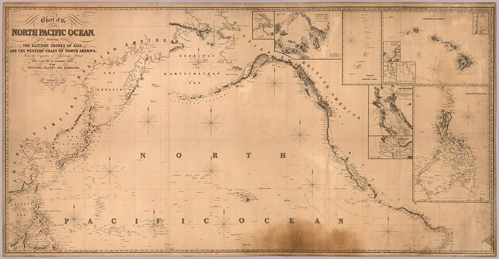
Chart of the North Pacific Ocean, Exhibiting the Eastern Shores of Asia and the Western Coast of North America from the Equator to Behring's Strait with Plans, on an Enlarged Scale, of the Principal Islands and Harbours. Compiled from the most Recent Surveys made by order of the British, French, and United States Governments. London. Published by James Imray. Chart and Nautical Bookseller, 102 Minores, 1849. (insets) Sandwich Islands (Hawaii); Philippine Islands; Harbor of San Francisco; Victoria Harbor; Mouth of the Columbia River; Marian or Ladrone Islands; Awatska Harbor in Kamchatka.
Write Your Own Review
Chart of the North Pacific Ocean, Exhibiting the Eastern Shores of Asia and the Western Coast of North America from the Equator to Behring's Strait with Plans, on an Enlarged Scale, of the Principal Islands and Harbours. Compiled from the most Recent Surveys made by order of the British, French, and United States Governments. London. Published by James Imray. Chart and Nautical Bookseller, 102 Minores, 1849. (insets) Sandwich Islands (Hawaii); Philippine Islands; Harbor of San Francisco; Victoria Harbor; Mouth of the Columbia River; Marian or Ladrone Islands; Awatska Harbor in Kamchatka.